GPR in archaeology
Archaeology is one of the biggest beneficent of non-destructive technique ground penetrating radar. Electromagnetic scanner is one of the best method archaeological mapping and buried object detection. We use 2D method where irregular investigation is needed, in rough terrain and in places with poor access.
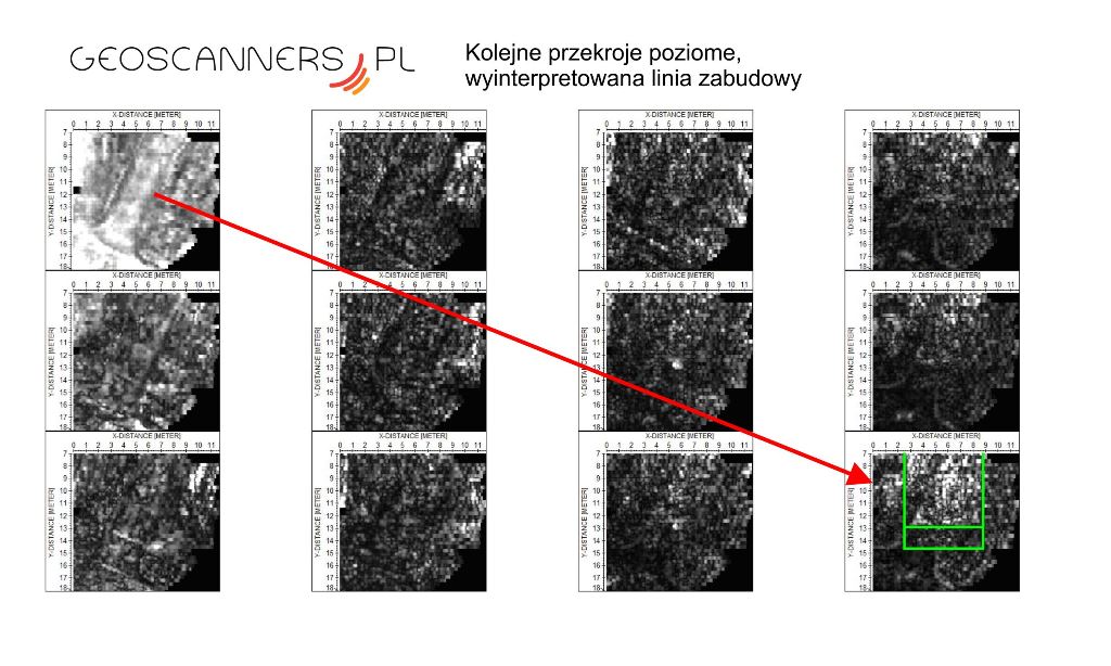
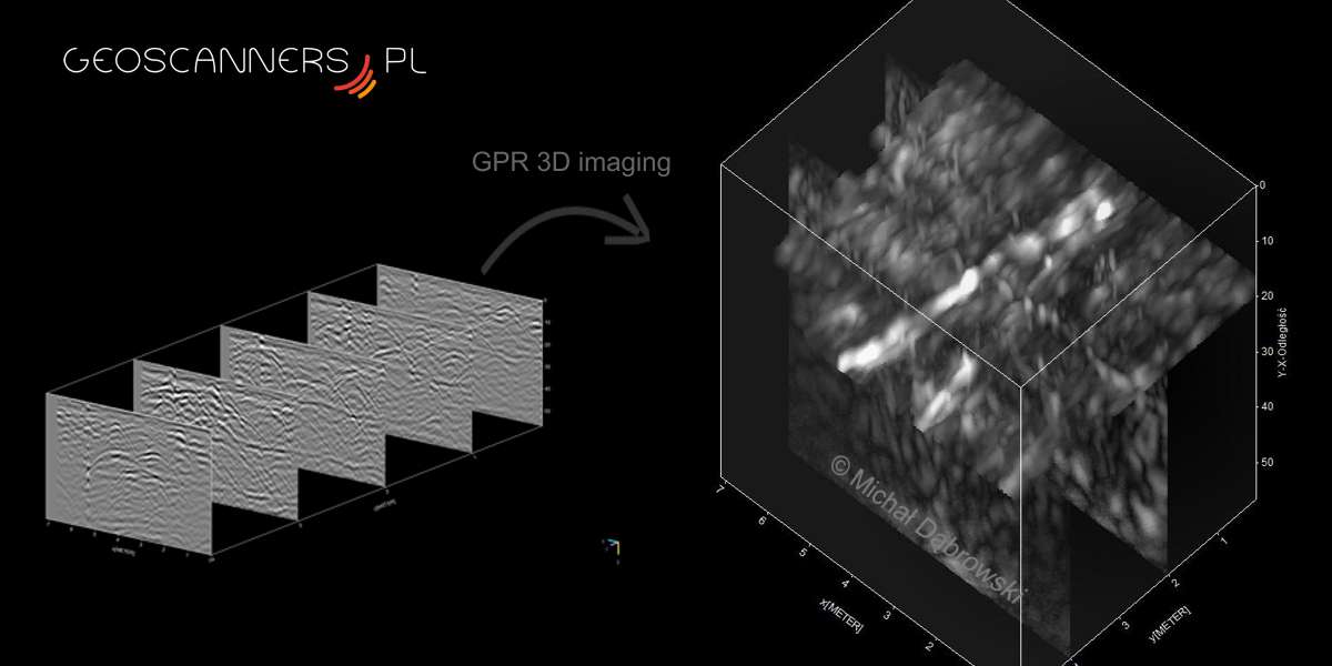
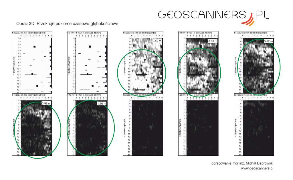
Advanced 3D mapping is used to cover with high density scans. With that we obtain complex views for spatial underground objects. Advanced software and used techniques allow us to extract maximum information from the ground.
We provide wide range of our services for archaeologists
- Surveying of old fundations and buried objects
- Crypt investigation, churches and other sacral objects
- Mass grave investigation
- Old cemetery mapping
and other purposes where is non-destructive mapping needed.
Below you can find some examples of our work
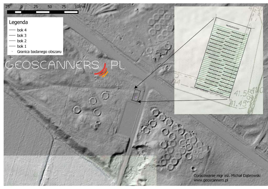
Example of elaboration GPR in archaeology and survey project design. The project was planned for cover area by 2D scanns. Covered object is residue of Finns tents from II World War. Design were done in GIS environment including basic map and digital model terrain from aerial LiDAR data.

